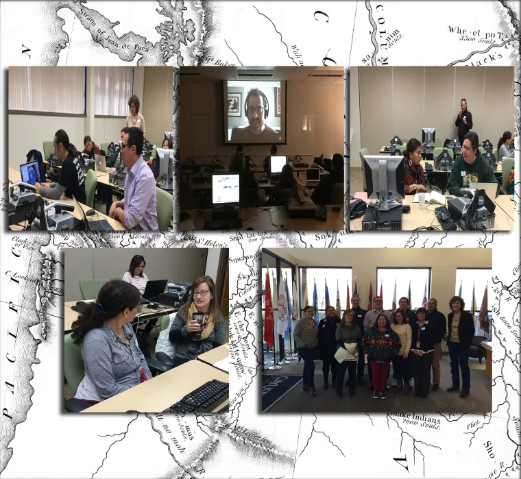
AILDI, in collaboration with Google Earth Trainer's Network, Cayuse Technologies and Tamástslikt Cultural Institute, held the workshop at the Confederated Tribes of the Umatilla Indian Reservation (CTUIR) in Pendleton, Oregon. The workshop was conducted at Cayuse Technologies, a technology services business created in partnership with CTUIR.
The workshop introduced participants to free Google geospatial technologies (Google Earth Pro, Google My Maps, Tour Builder, Fusion Tables) to use as a digital platform for indigenous mapping and other cultural projects. The participants also discussed language domains and cultural mapping and were encouraged to allow cultural traditional knowledge determine the design of their map.
Increasingly, Indigneous peoples around the world have utilized geospatial technologies to defend and claim ancestral lands, manage natural resources, plan economic development, and preserve their cultures.
The integration, communication, and interpretation of Traditional Knowledge and Indigenous languages into geospatial technologies highlight the necessity for technologies to be culturally appropriate, sensitive to the processes that contextualize data collection, and community controlled.

The Google Mapping and Language Workshop was led by Dr. Cynthia Annett (cynthiaannett.org) from Google Earth Outreach Trainer's Network, and Dr. Tyler Peterson, University of Auckland, New Zealand.

